
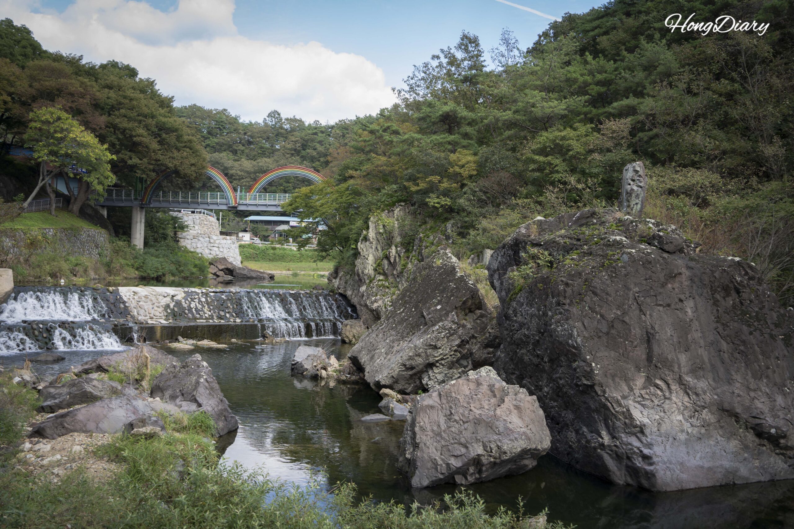
I visited Binggye Valley on one of the hottest days of the summer, sweating through my shirt before I even got out of the taxi. Twenty minutes later, I was standing in front of a crack in the rocks where the air coming out registered below zero. Ice — actual ice — clinging to stone surfaces in the middle of August. It’s the kind of thing you read about and assume is exaggerated until you feel it on your face.
Binggye Valley sits in Uiseong-gun, a small rural county in the center of Gyeongsangbuk-do, South Korea’s largest province. Uiseong is the kind of place most foreign visitors have never heard of — a quiet farming town known locally as Korea’s garlic capital and historically called the “land of righteousness and courtesy.” The valley is in Chunsan-myeon, about 40 minutes by local bus from Uiseong Station. Getting to Uiseong itself takes about 1 hour 50 minutes from Seoul on the KTX-Eum from Cheongnyangni Station (₩25,000–30,000 / ~$17–20 USD / €14–17 EUR), or about 3 hours on the slower ITX (₩23,600 / ~$16 USD / €13 EUR). From Busan, the most practical route goes through Gyeongju (Busan to Gyeongju: ~35 min, ₩10,100 / ~$7 USD / €6 EUR; Gyeongju to Uiseong: ~1 hr 10 min, ₩8,000 / ~$5 USD / €5 EUR). If you’re already planning a trip to Gyeongju, adding Uiseong as a day trip makes the most sense — the train connection is straightforward and you avoid backtracking.
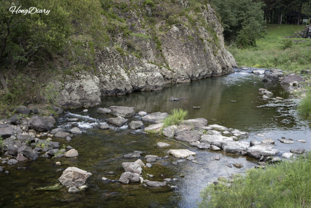
Table of Contents
| Detail | Info |
|---|---|
| Name | Binggye Valley (Binggyegyegok) |
| Location | Binggye-ri, Chunsan-myeon, Uiseong-gun, Gyeongsangbuk-do |
| Admission | Free |
| Hours | Open 24/7, year-round |
| Binggye Seowon Address | 80 Binggyegyegok-gil, Chunsan-myeon, Uiseong-gun |
| From Seoul | KTX-Eum from Cheongnyangni to Uiseong Station (~1 hr 50 min, ₩25,000–30,000 / ~$17–20 USD / €14–17 EUR) or ITX (~3 hrs, ₩23,600 / ~$16 USD / €13 EUR) |
| From Gyeongju | Train from Gyeongju Station to Uiseong Station (~1 hr 10 min, ₩8,000 / ~$5 USD / €5 EUR) |
| From Uiseong Station | Bus #132, 133, or 134 to Binggye 2-ri stop (~40 min), then 1.6 km walk (~25 min). Buses run infrequently — taxi is ~₩25,000–30,000 (~$17–20 USD / €14–17 EUR, ~25 min) |
| Designation | National Geopark, County Park (since 1987) |
A note on local buses: Rural buses in Uiseong run on very limited schedules — sometimes only a few departures per day. Don’t assume you can show up at the station and catch the next one. Check Google Map or Naver Map for real-time departure times before you go. If you’re tight on time or the bus schedule doesn’t line up, a taxi from Uiseong Station to the valley costs around ₩25,000–30,000 (~$17–20 USD / €14–17 EUR) and takes about 25 minutes.
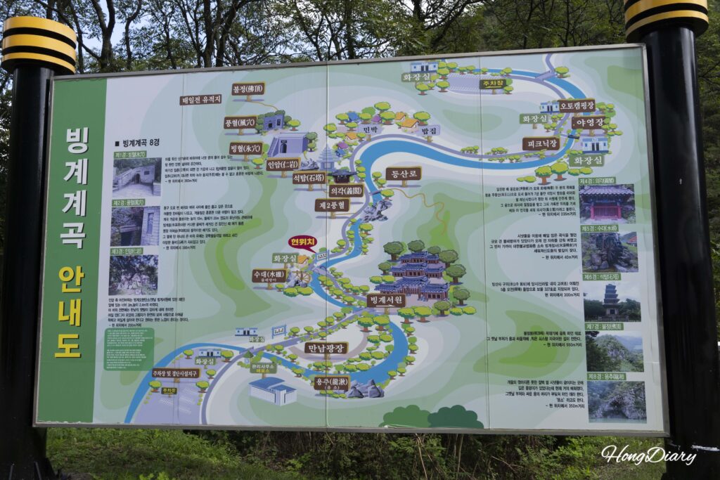
The trail map near the entrance. The full loop from entrance to ice hole and back takes about 2 hours at a relaxed pace.
Walking Into the Valley
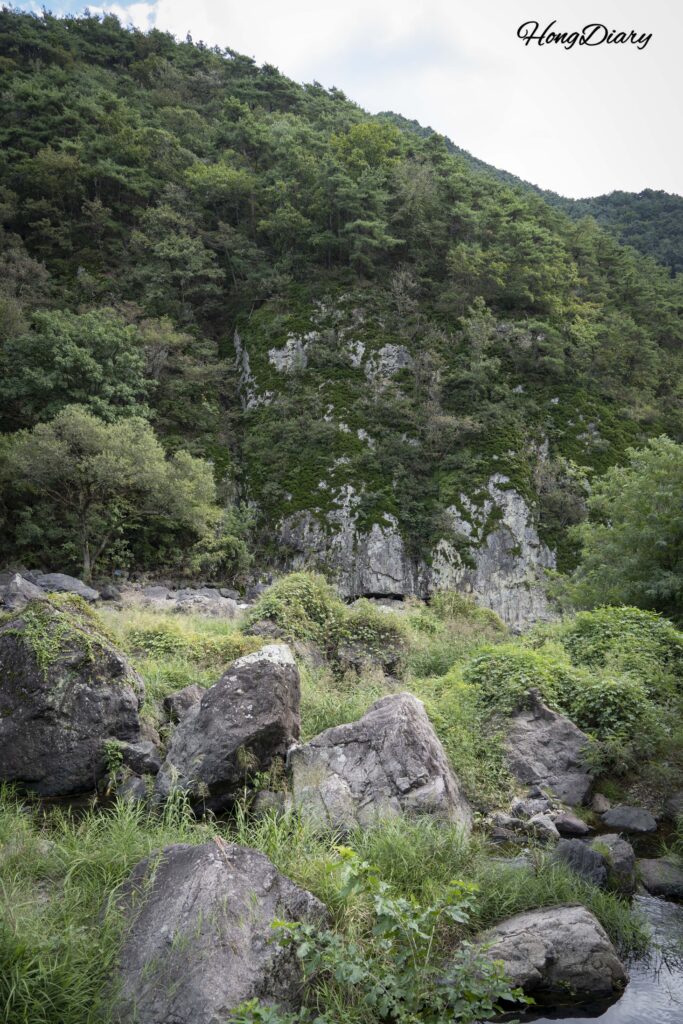
From the bus stop, it’s about a 25-minute walk to the valley entrance. The trail follows the Ssanggyecheon stream, and you start noticing the landscape shift almost immediately — steep cliffs on one side, volcanic rock formations on the other, and air that gets noticeably cooler the deeper you go.
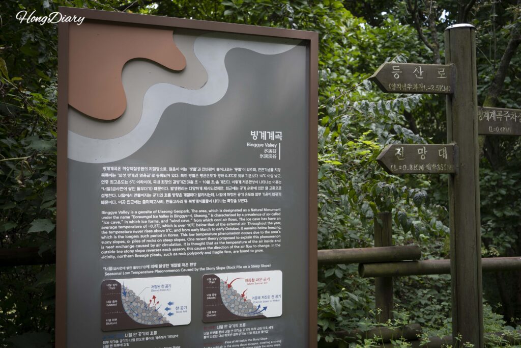
There’s a detailed trail map near the entrance with both Korean and English labels, which is helpful since signage in rural Gyeongsangbuk-do can be limited. The path itself is well-maintained and mostly flat, so you don’t need hiking boots — regular sneakers work fine.
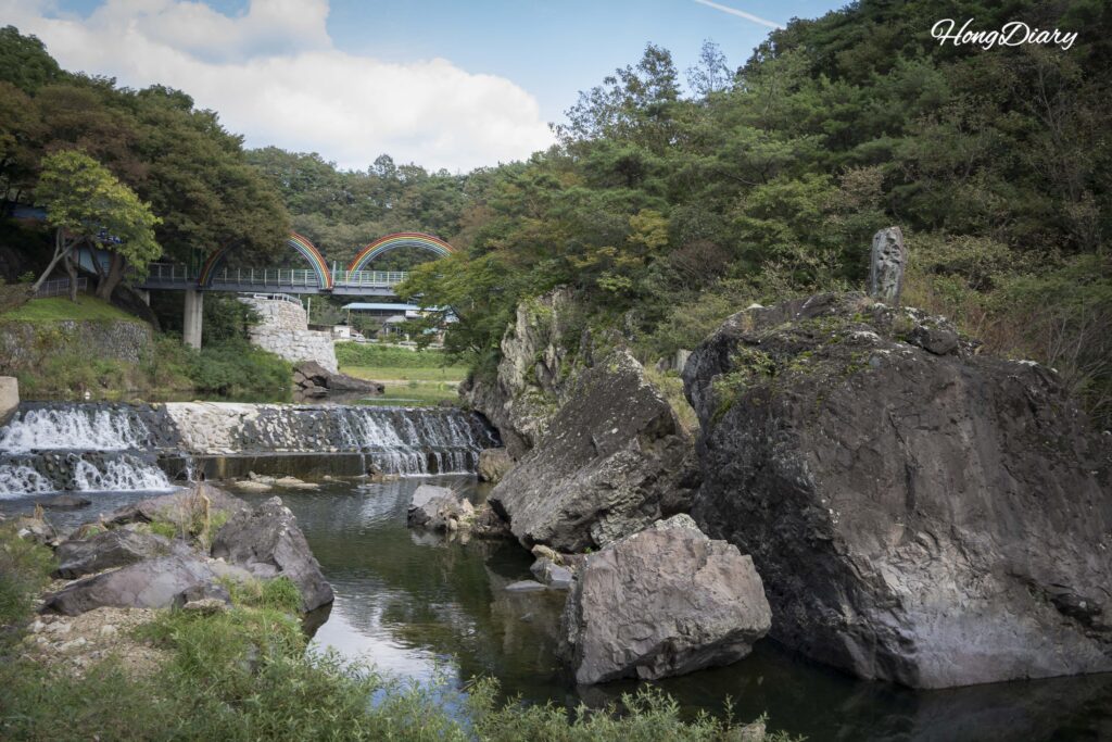
Crossing Binggye Bridge
About halfway in, you cross Binggye Bridge, a small footbridge over the stream. It’s a simple structure, but the view from the middle — the stream below, the valley walls rising on both sides — gives you your first real sense of how enclosed and isolated this place feels. The sound of the water and the shade from the cliffs combine to drop the temperature several degrees compared to the open road you walked in from.
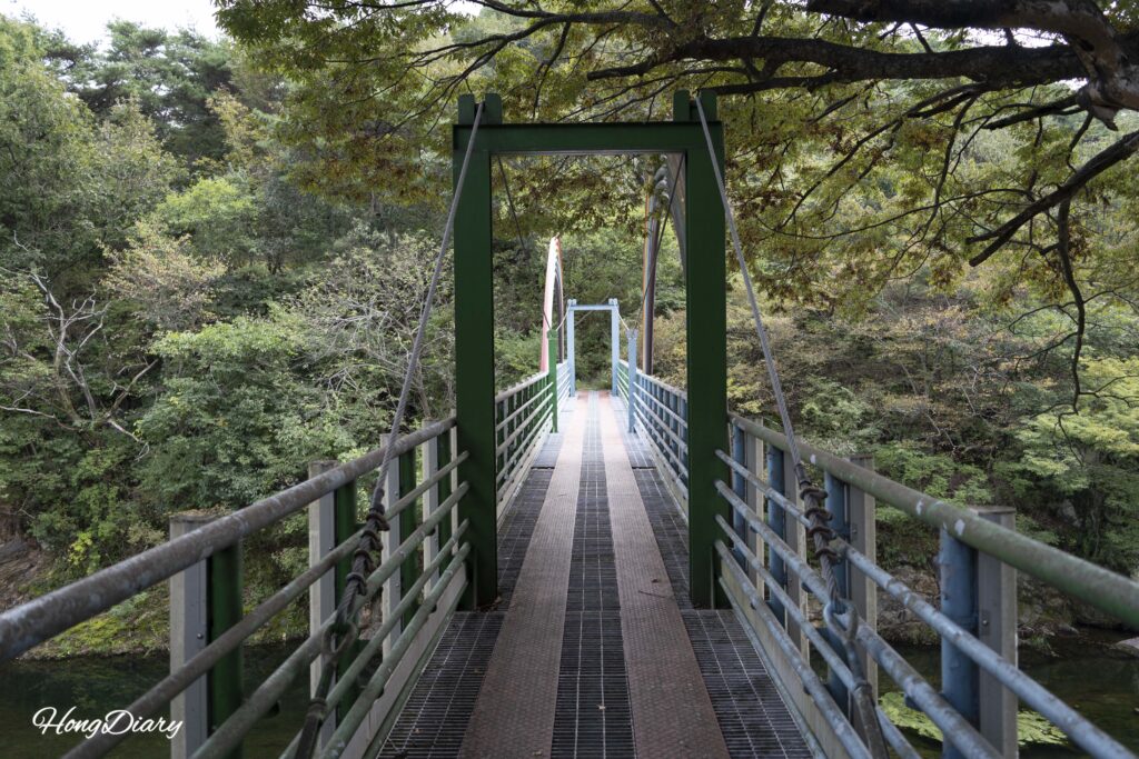
The Ice Hole
This is why you came. Past the bridge, the trail leads to a section of rocky talus slope where cold air seeps out through gaps between the boulders. These are the “wind holes” — you can feel the chill on your skin from a few steps away. A guide at the site explained that the air circulation works through the porous volcanic rock: in spring and summer, cold air sinks through the talus and exits at the bottom, while in autumn and winter the process reverses and warm air rises out.
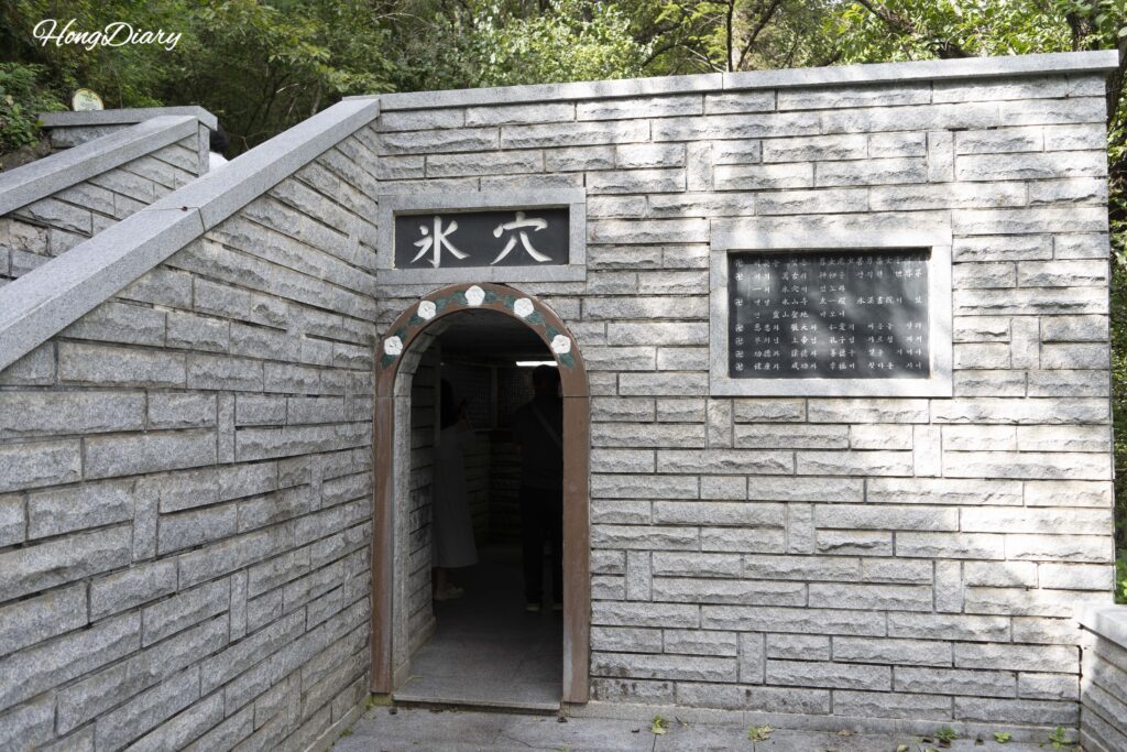
But the real attraction is the ice hole itself, a natural cave-like opening at the base of the talus. The interior is closed off for conservation and safety reasons, but there’s a maintained opening where you can lean in and feel the air. “Feel” is an understatement — it’s like opening a walk-in freezer.
| Ice Hole Data | Detail |
|---|---|
| Average internal temperature | Approximately -0.3°C |
| Maximum temperature (year-round) | Below 5°C |
| Freezing period | Early March through early October |
| Longest freezing duration | Among the longest recorded in South Korea |
The freezing period runs from early March to early October — meaning ice persists through most of the year, including the peak of Korean summer when outside temperatures regularly exceed 35°C. The temperature differential between the inside of the cave and the outside air can be over 30 degrees.
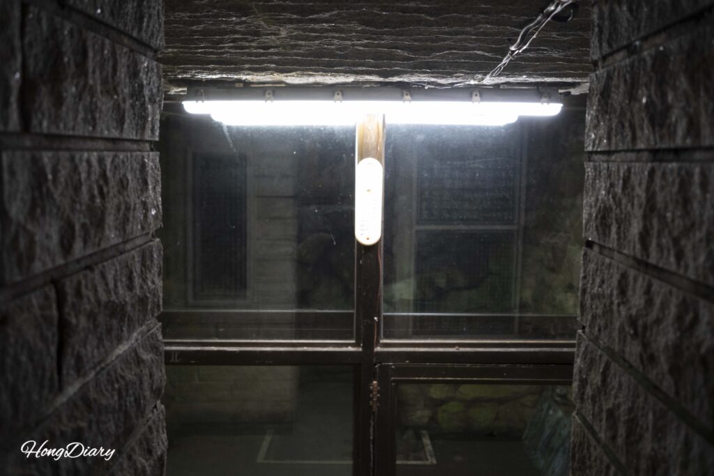
Moss covers the rocks around the entrance and stays damp year-round, and according to the guide, bats and small rodents are common visitors. Northern plant species like certain fern varieties also grow in the immediate area — species that normally wouldn’t survive this far south — which tells you how consistently cold this microclimate really is.
I didn’t want to leave. After walking in the heat, standing at the mouth of the ice hole felt like the most natural air conditioning I’ve ever experienced. It’s easy to understand why the valley has been referenced in Korean records as far back as the Annals of King Sejong.
The Geology: Geopark Rocks and Dinosaur Footprints
Binggye Valley isn’t just a novelty. It’s a designated National Geopark site, and the geology behind the ice holes is genuinely interesting once you understand what you’re looking at.
The rocks here were formed by volcanic activity during the late Cretaceous period — the same era when dinosaurs still roamed. The valley is composed primarily of basalt and rhyolite tuff, and the stream that runs through it (Ssanggyecheon) follows a fault line almost exactly. Along the cliff faces, you can spot columnar joints — vertical cracks in the basalt that formed as lava cooled — and extensive talus deposits (loose rock piles) at the base.
It’s these talus deposits that make the ice holes possible. The gaps between the boulders create a network of air channels, and the density difference between cold and warm air drives a natural convection cycle. In summer, cool air from deep within the rock mass flows downward and exits at the lower openings. In winter, the process reverses.
On some rock surfaces within the geopark, researchers have also found dinosaur footprint fossils — evidence that this area was once a waterside environment during the Cretaceous. I didn’t get a photo of the footprints, but a guide pointed out the general location and the interpretive signage explains the paleontological significance. If you’re traveling with kids who are into dinosaurs, this detail alone could make the trip worthwhile.
Binggye Seowon
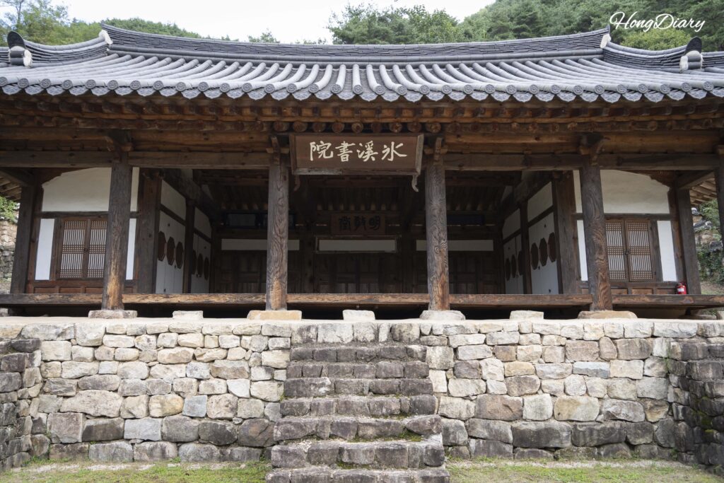
Walking back down from the ice hole area, you pass Binggye Seowon, a Confucian academy that sits at the lower end of the valley overlooking the stream.
Seowon were more than schools during the Joseon Dynasty — they were spaces where scholars honored past thinkers and studied in relative seclusion. This one was originally built to commemorate Choe Hyeon, a mid-Joseon scholar, but fell into ruin over the centuries. It was restored in 2006 as part of a Confucian cultural heritage project.
What makes it worth stopping is the setting. Most seowon you visit in Korea feel formal and somewhat stiff. This one, nestled between trees with the sound of the valley stream in the background, feels more like a retreat than a monument. It’s small and quiet — you can walk through it in ten minutes — but the combination of old architecture and natural surroundings gives it a calm that’s hard to find at busier heritage sites.
There’s also a campground and auto-camping area nearby for anyone who wants to extend the visit into an overnight stay. I only passed through briefly, but the setting looked ideal for a night surrounded by nothing but valley sounds.
The Small Things Along the Way
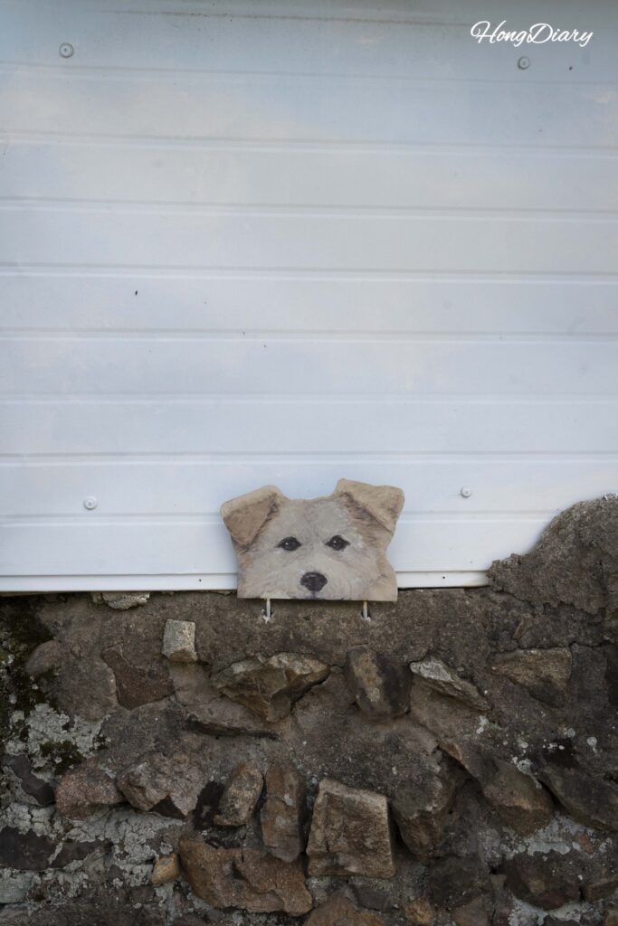
On the walk back to the bus stop, I passed a low wall with a painted mural of a puppy — the kind of small, unannounced detail that only exists in towns where people live slowly. Nobody put it there for tourists. It was just there.
Uiseong is that kind of place. There are no souvenir shops, no tour buses, no crowds. The valley doesn’t even charge admission. You walk in, you feel the cold air, you learn something about Cretaceous geology, you sit by a 400-year-old seowon, and you walk back. That’s it — and somehow that’s more than enough.
Final Thoughts
Binggye Valley won’t show up on most Korea travel itineraries, and that’s part of what makes it worth the trip. It’s the kind of place that rewards the effort of getting there — not with Instagram-ready spectacles, but with something harder to find: a genuine sense of discovery.
If you’re already planning time in Gyeongju — which most travelers passing through Gyeongsangbuk-do are — Uiseong makes a natural day-trip add-on. The train from Gyeongju Station takes just over an hour, and you can see the valley, the seowon, and the geopark formations in a single afternoon before heading back. Coming from Busan, the route passes through Gyeongju anyway, so you’re not backtracking. I’d recommend pairing Binggye Valley with a night or two in Gyeongju — the historic streets and local food scene there round out the trip nicely.
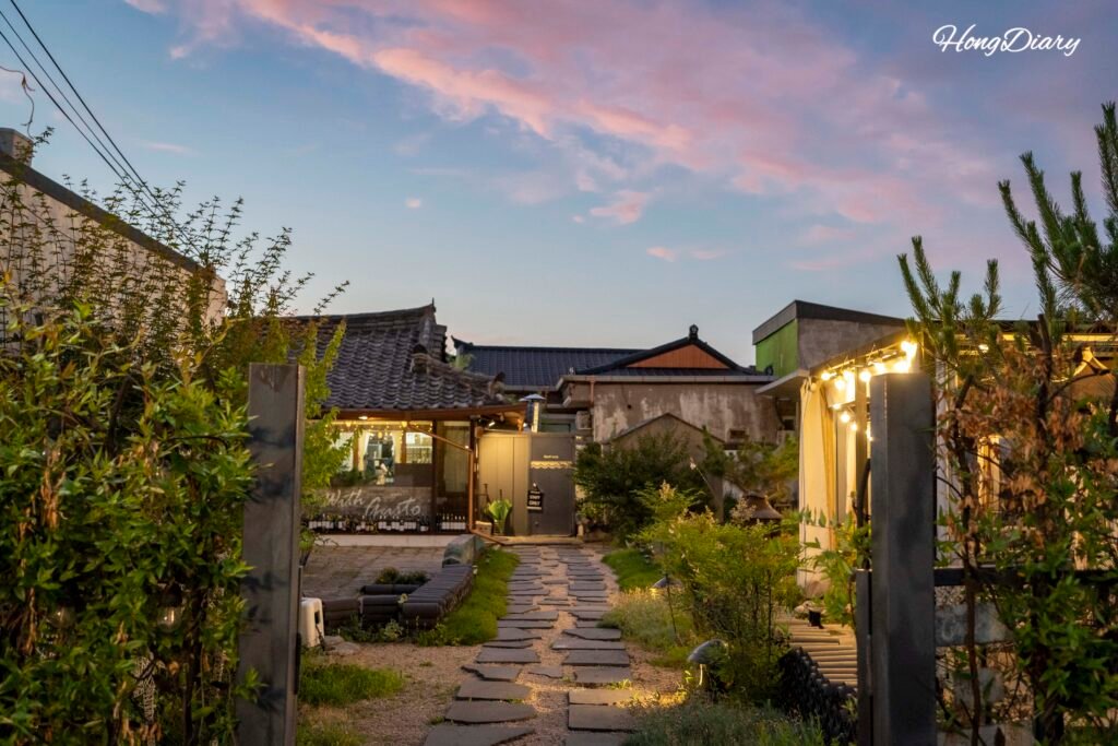
Related Read: Complete Neighborhood Guide to Hwangnidan-gil, Gyeongju — Where to stay, eat, and explore on foot in Korea’s ancient Silla capital. If you’re building a Gyeongsangbuk-do itinerary, this is the street worth basing yourself on.
Summer is the most dramatic time to visit Binggye Valley — the contrast between the heat outside and the freezing air inside the ice hole is at its peak. But autumn, when the valley fills with red and orange foliage and the stream runs clearer, might be even more scenic. Either way, bring a light jacket. You’ll want it at the ice hole, even in August.
Frequently Asked Questions
How do I get to Binggye Valley from Seoul?
The fastest option is the KTX-Eum from Cheongnyangni Station to Uiseong Station — about 1 hour 50 minutes, costing ₩25,000–30,000 (~$17–20 USD / €14–17 EUR). The slower ITX takes about 3 hours for ₩23,600 (~$16 USD / €13 EUR). From Uiseong Station, walk 2 minutes to the Uiseong Terminal bus stop and take bus #132, 133, or 134 to the Binggye 2-ri stop (~40 min), then walk 1.6 km (~25 min) to the valley. Important: rural buses in Uiseong run very infrequently — sometimes only a few times per day. Check schedules on Google Map or Naver Map before you go. If the timing doesn’t work, a taxi from the station costs around ₩25,000–30,000 (~$17–20 USD / €14–17 EUR).
Can I visit Binggye Valley as a day trip from Gyeongju?
Yes, and it’s the most practical way to visit. The train from Gyeongju Station to Uiseong Station takes about 1 hour and 10 minutes (₩8,000 / ~$5 USD / €5 EUR). From there, the bus and walk to the valley add another hour or so. You can comfortably see the ice hole, the geopark formations, and Binggye Seowon in an afternoon and return to Gyeongju the same evening.
Is Binggye Valley free to enter?
Yes. There’s no admission fee, and the valley is open 24 hours a day, year-round. Binggye Seowon, the Confucian academy at the lower end of the valley, is also free to visit.
What is the ice hole at Binggye Valley?
It’s a natural cave-like opening at the base of a volcanic talus slope where the internal temperature stays near -0.3°C on average — even in the middle of summer. Ice forms inside from early March through early October, making it one of the longest natural freezing periods recorded in South Korea. The phenomenon is caused by air circulating through gaps in Cretaceous-era basalt and tuff rock. The interior is closed for conservation, but there’s an opening where you can lean in and feel the freezing air.
Are there really dinosaur footprints at Binggye Valley?
Yes. The valley is a designated National Geopark, and researchers have found dinosaur footprint fossils on rock surfaces in the area. The rocks date to the late Cretaceous period, and the fossils suggest this area was once near water. Interpretive signage is available at the site, though the footprints themselves require a guide to locate.
Is Binggye Valley suitable for children?
The walking trail is mostly flat and well-maintained, so it’s manageable for kids. The ice hole and the dinosaur footprint fossils are likely to hold their attention, and the walk from the bus stop to the valley is about 25 minutes — long enough to feel like an adventure without being exhausting. There are no guardrails near the stream in some areas, so keep an eye on younger children.
When is the best time to visit Binggye Valley?
Summer (June through August) offers the most dramatic experience — the contrast between the 35°C+ heat outside and the sub-zero air inside the ice hole is at its peak. Autumn (October through November) is arguably more scenic, with red and orange foliage along the valley and clearer water in the stream. The freezing period inside the ice hole runs from early March to early October, so visiting outside that window means you’ll still feel cool air but may not see ice.